Let's shed some light on your search


We have partnered with Hike NS to showcase the best of the province while providing helpful and fun challenges in doing so. This hiking challenge is all about inspiring, motivating and rewarding participants - new or novice hikers. We're encouraging people to get out on Annapolis County's beautiful trails to start hiking and enjoy our beautiful great outdoors.
When you meet the challenge you will earn a specially-designed Annapolis County Hiking Badge.
When you meet the challenge you will earn a specially-designed Annapolis County Hiking Badge.
To qualify for this badge, choose five hikes from the seven listed below to complete in one year. Customize your challenge with a total distance from 11 km to 15 km. Throughout this challenge, discover and explore Annapolis County’s spectacular scenery including: the Bay of Fundy shoreline, a waterfall, magical and lush forest landscapes, the picturesque Annapolis River, and so much more. You will find hiking trails that suit all levels of skill and ability to enjoy.
To learn more about the hiker challenge, visit Hike NS at:
https://www.hikenovascotia.ca/projects-hiker-challenge/
Once you have completed the challenge, you can apply for your badge at https://hikenovascotia.ca/projects-hiker-challenge/#id=158&cid=1331&wid=3101
Annapolis County Hiker Challenge Trails:
Delaps Cove Wilderness Trail (Bohaker) – 2.2 Kms (Loop)
County of Annapolis owned Trail
2077 Shore Road West, Delaps Cove
(Trail rating: Moderate)
This trail system is located on the shores of the Bay of Fundy. The Trail meanders through 130 acres of canopied forests. Nature enthusiasts may enjoy the natural splendour of the area and breathe in the briny, salt air that surrounds the windswept coastline of the Bay of Fundy. As well as being a great place to hike, the trail provides opportunities for bird watching and photography. Use the Delaps Cove Wilderness Trail Guide (located at the trail head) to identify the fauna and flora or to provide an historical perspective to the area. The area surrounding the trail system was once a thriving Black settlement.
For more details about the Delaps Cove Wilderness Trail, visit https://annapoliscounty.ca/community-development/parks-trails/415-delaps-cove-wilderness-trail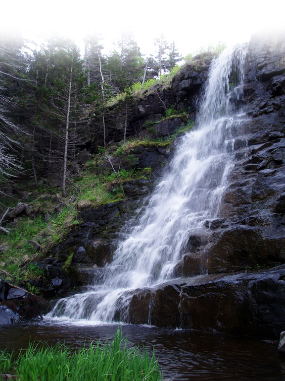
Old Mill Trail – 800 m (Loop)
County of Annapolis owned Trail
213 Adam Dr., South Farmington
(Trail rating: Easy – wheelchair accessible)
This is the perfect trail for families with young children, someone just starting to learn about the joy of hiking, or people with mobility challenges. Old Mill Trail is the first wheelchair accessible walking trail opened by the Municipality of the County of Annapolis. The trail has been levelled, compacted and designed in a way that people who require a wheelchair can move along it with ease. Throughout the trail, there are benches, picnic tables, and bridges that are accessible to people walking the trail, and to those using a wheelchair. Old Mill Trail is situated on 2.2 acres of land along the banks of the beautiful Annapolis River.
For more details about Old Mill Trail, visit https://annapoliscounty.ca/community-development/parks-trails/476-old-mill-trail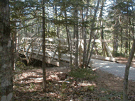
Mickey Hill Trail – 1 km (Loop)
Mickey Hill Provincial Park
7906 Hwy 8
(Trail rating: Moderate)
Mickey Hill Provincial Park is a day-use park with a trail and a swimming area. The park features gravelled trails, with boardwalks in rough areas and steep staircases through rocks, and a suspension bridge. Trails are marked with nature interpretive signs. There is a picnic area on the river, as well as an unsupervised beach on lake and vault toilets. Parking is at the gate only.
For more details about Mickey Hill Trail, visit https://www.novascotia.com/see-do/outdoor-activities/mickey-hill-provincial-park/2215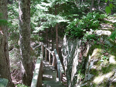
Hemlocks and Hardwoods Trail – 5 kms (Loop)
Kejimkujik National Park and National Historic Site
3005 Kejimkujik Main Parkway, Caledonia
(Trail rating: Moderate)
Among Nova Scotia’s oldest trees are the 300-year old hemlocks featured on this trail. As you move into the stand of tall, stately conifers, notice how different it feels under the thick-leafed canopy: cool and dark and moist. A boardwalk will take you over the very sensitive roots of these giants.
For more details about the Hemlocks and Hardwood Trail, as well as other Keji trails, visit https://www.pc.gc.ca/en/pn-np/ns/kejimkujik/activ/rando-hiking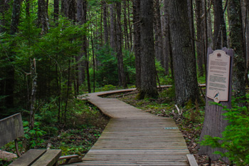
Ukme’k Trail – 6.3 kms (One way)
Kejimkujik National Park and National Historic Site
3005 Kejimkujik Main Parkway, Caledonia,
(Trail rating: Moderate)
Kejimkujik’s newest shared-use trail, pronounced “ook-may-k”, meaning “twisted” in Mi’kmaq will have you twisting and turning with the Mersey River as you weave your way through the Kejimkujik’s landscape by foot or by bike. Visitors can walk safely and confidently across the new rainbow crosswalk that connects Ukme’k Trail and the Mersey River Trail. The views of the Mersey River are breathtaking from every vantage point. Whether you hike, bike, run or simply walk, this trail will be the opportunity to experience Kejimkujik in a whole new way.
For more details about the Ukme’k Trail, as well as other Keji trails, visit https://www.pc.gc.ca/en/pn-np/ns/kejimkujik/activ/rando-hiking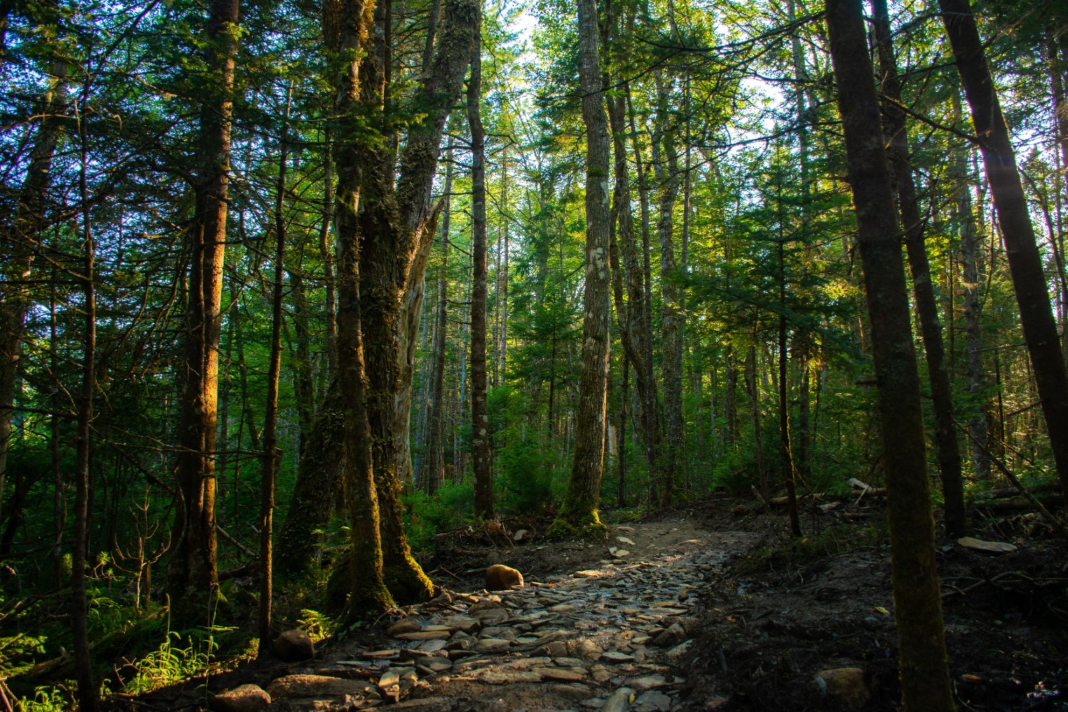
Photo credit: Parks Canada - Nicole Boutilier
4 Mile Stillwater Trail - 1.4 kms (Loop)
Medway Community Forest Cooperative / NS Environment
2176 Hwy 8, Nine Mile Wood
(Trail rating: Moderate)
The Four Mile Stillwater Trail provides access to a beautiful section of the Mersey River within Medway Lakes Wilderness Area. This is one of the regions newest trals. The footpath follows along the Mersey River and features Hemlocks and a large erratic. It is officially located within the Medway Lakes Wilderness Area. A section of the river was known as Lewis Dump, where the fish would drop down or” dump” into the stillwater below the rapids.
For more details about the Four Mile Stillwater Trail, visit https://www.medwaycommunityforest.com/four-mile-stillwater-trail
Harvest Moon Trail – 110 kms (One way)
Town of Annapolis Royal to Grand Pré, Wolfville
(Choose 5 kms within Annapolis County)
(Trail rated: Easy)
The beautiful Harvest Moon Trail meanders through the Annapolis Valley along the former railbed. The majority of the Harvest Moon Trail is shared use with easy grades, and a hard-packed surface trail bed ideal for hiking and hybrid cycling. The trail begins in the quaint town of
.You must hike a 5 km section within Annapolis County to participate in the Annapolis County Hiker Challenge. To access a Harvest Moon Trail map, visit https://destinationtrailsnovascotia.com/harvest-moon-trailway-trail-details/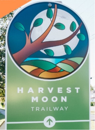
Upcoming Events
| Volunteer Nomination Deadline 07 Apr 2026 |
| Committee of the Whole 14 Apr 2026 10:00AM |
| Municipal Council 21 Apr 2026 10:00AM |
| PUBLIC HEARING - County-Wide Planning Area & Cornwallis Park Secondary Planning Area 21 Apr 2026 11:00AM |
| Police Advisory Board Meeting 23 Apr 2026 11:00AM |
New Information to This Site
- Employment Opportunity - Building/Fire Official
- East End Planning Area
- Municipal Office Closure - Easter Holiday
- Procurement Opportunity - Supply and Delivery of One (1) Half-Ton Field Truck
- 2026-27 Sewer Rates
- 2026-27 Property Tax/Area Rates
- Procurement Opportunity - Supply and Delivery of One (1) Half-Ton Animal Control Truck
- Procurement Opportunity - Supply and Delivery of One (1) Half-Ton Operations Truck
- 2026-27 Budget Document
- Municipal Special Budget Council Session Highlights - March 17, 2026
- Municipal Council Highlights - March 17, 2026
- County of Annapolis Approves 2026-27 Operating and Capital Budgets